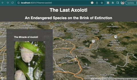
Darren's Geospatial Curiosities
Welcome
Projects
COG Video
Ink Golf
Elevation Music
Geo Ligatures
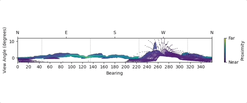
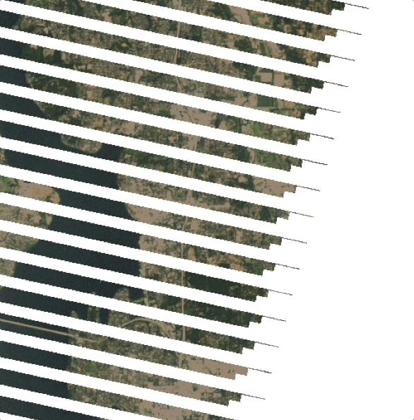
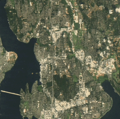
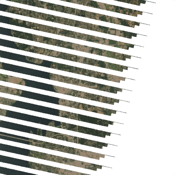
Registered Timelapse Images
Isometric OMF Buildings
Ascii Tiles
MRI PMTiles
QR Share
STAC Video Packets
Pencil Map
High Resolution Canopy Height
Longitunes
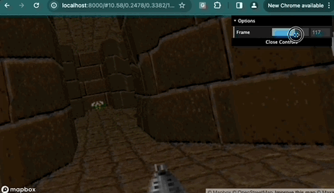
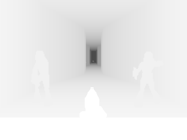
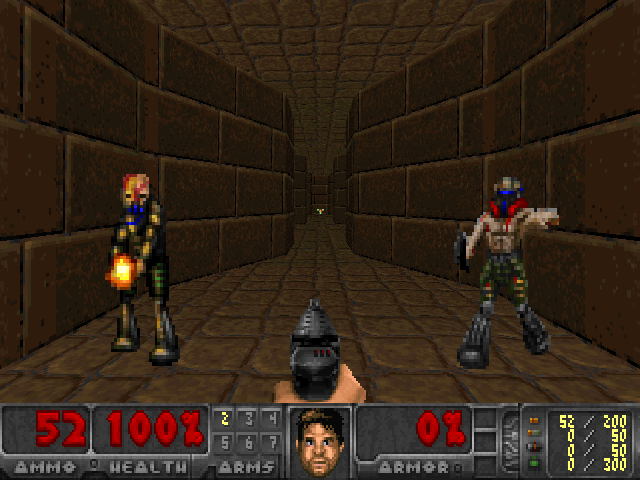
Mapbox Doom
Mapbox Sliding Puzzle Game
Mapbox Tetris
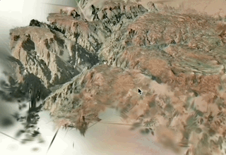
Potree 3DEP Viewer
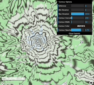
Mapbox Contours
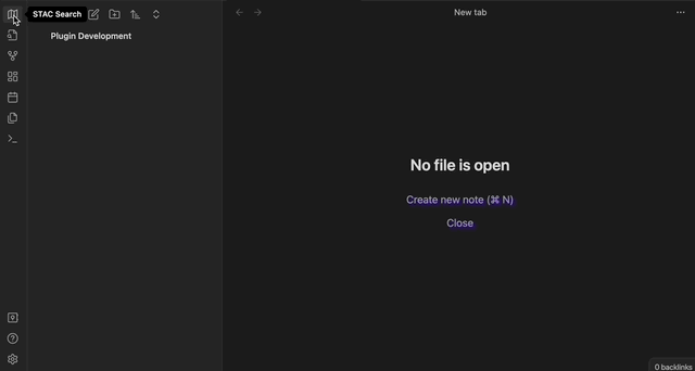
Obsidian STAC Search Extension
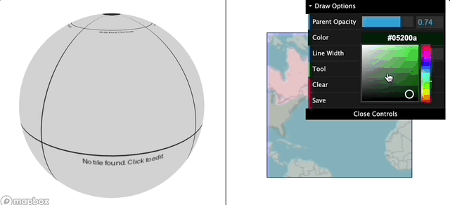
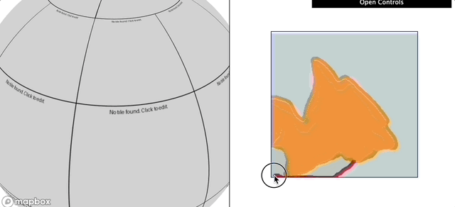
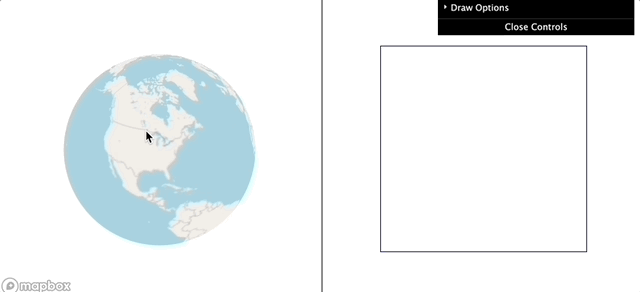
Collaborative Handdrawn Maps
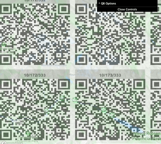
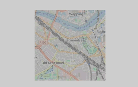
QRMap
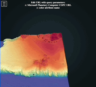
LidarBC COPC Viewer
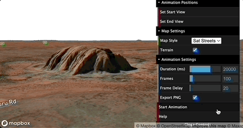
Mapbox Fly-Through App
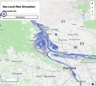
Sea Level Rise Simulator
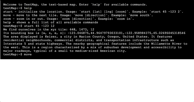
TextMap
Map-to-Speech
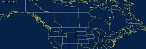
Wait-its-all-Ohio
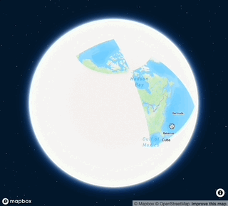
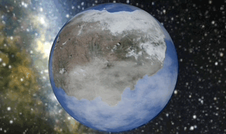
Cubemap
firesmoke
Nodata Remover
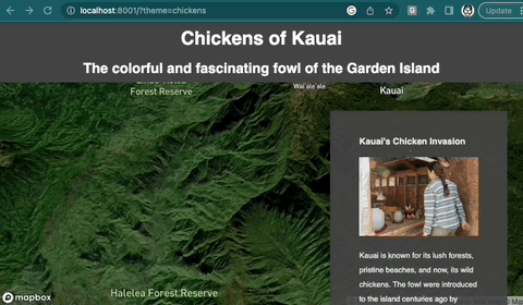
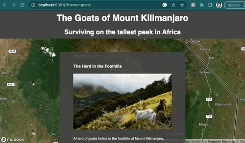
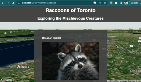
OpenAI Storymap Generator
Play Canvas Tile Viewer
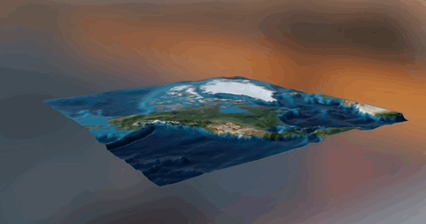
DEM-to-Oblique
Why?
Darren's Geospatial Curiosities
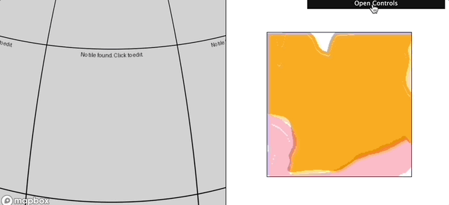
Map weirdness.
Get started
↗︎